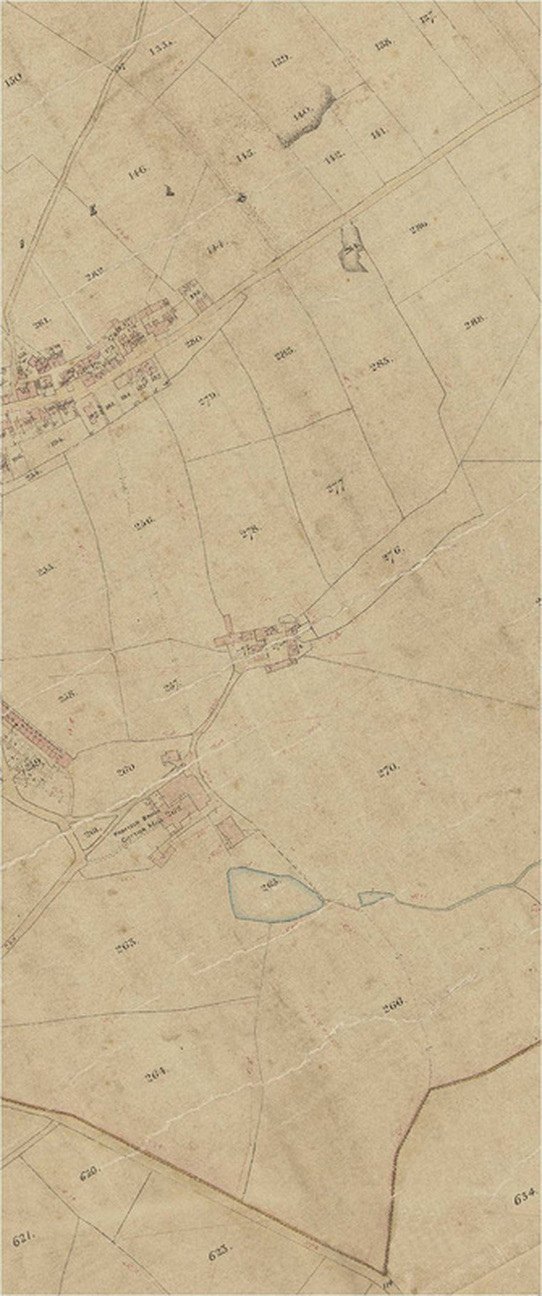
Poor Law map of 1857
The Poor Law map below shows an advancement in mapping making since the Runnat Intack of 1763. We are now seeing detailed boundaries, carefully plotted and marked, with properties showing size, shape and orientation. Padfield Main Road continues further beyond Temple Street and the additions of Post Street and Platt Street can be seen here, whereas on Burdett's map of 1791 and Stockdale's map of 1794, neither of these roads exist. Platt Street was established around 1844 as a result of the new rail link between Manchester and Sheffield (built between 1836 and 1845), and the construction of Hadfield Station. Platt Street's construction completed the iconic 'Padfield Triangle.'
Also of note is the additional terrace of five dwellings located on Padfield Main Road at the junction with Post Street. These dwellings were positioned in the middle of the road, causing it to fork into two parts either side of the terraced buildings. This accounts for the unusually wide section road at this junction.
The maps shown here are of the same piece, split when digitally copied.
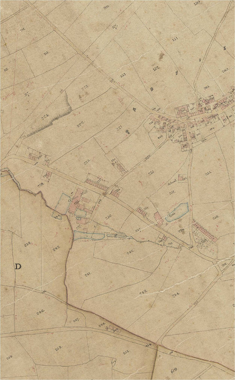
Map courtesy of Glossop Heritage Trust
Map courtesy of Glossop Heritage Trust